
|
|
Google Earth Image showing GPS Track of Our Visit
to Bergen, Norway (turquoise) |
|
|
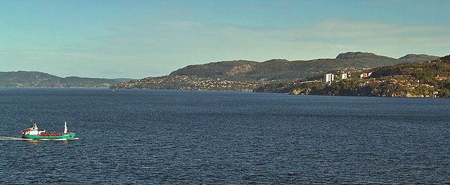
| After
a two night and one day passage at
19 kts from Southampton the ship
arrived at Bergen, Norway. The
first night the weather was quite
stormy and the seas were rough.
 |
|
|
|
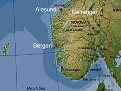
Approach to Bergen from the
North |
|
|
The ship entered the Hjelte
Fjord from the North Sea 25
nm north of Bergen and then
sailed southerly to the
port.
Bergen has rain 300
days/year. September
is the rainiest month, so we
were pleasantly surprised by
the sunny weather. |
|
|
 |
|
|
|
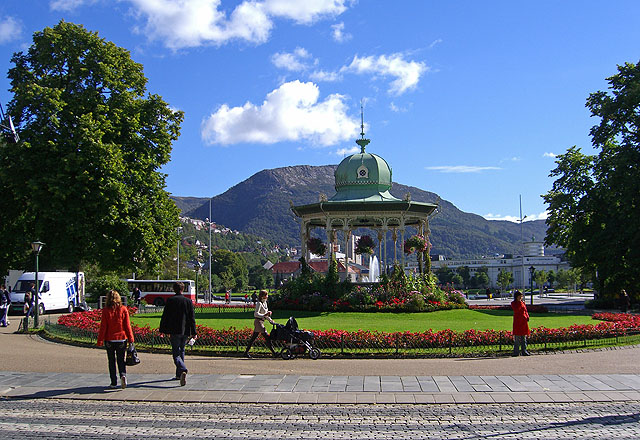
Christies Gate |
|
|
| The
Cruise Terminal for large ships is
at the industrial port, not
convenient to downtown. Free
shuttle buses provided
transportation to Christies Gate
downtown. From there we walked
around the city and old harbor areas
and rode the Floibanen. |
|
|
|
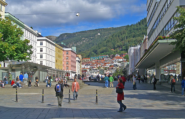
Bergen Central Business District |
|
|
This street is reserved for
pedestrians.
|
|
|
 |
|

|
|
The Old Inner Harbor |
|
|
|
The open air market is visible at
the end of the harbor.
The Floibanen (Funicular Railroad)
is a the top center left of the
photo. |
|
|
|
Open Air Market |
|
|
Nordic items, including
sweaters, scarves, caps,
souvenirs, etc, were for
sale. (I don't know
what they do on rainy days.) |
|
|
 |
|

|
|
At the Top of the Floibanen |
|
|
| Very
nice views, as may be seen. The
Grand Princess is visible just left
of center. Christies Gate is right
of the pond with the fountain at
lower left.
The
Floibanen is a steeply inclined
railroad with the cars pulled by
cables. There are hiking
trails and a restaurant at the top.
|
|
|
|
Panoramic View Looking North
Across the Old Harbor |
|
|
At
1900 the ship departed for
an overnight sail to the
Stor Fjord near Alesund. |
|
|
 |
|