|
|
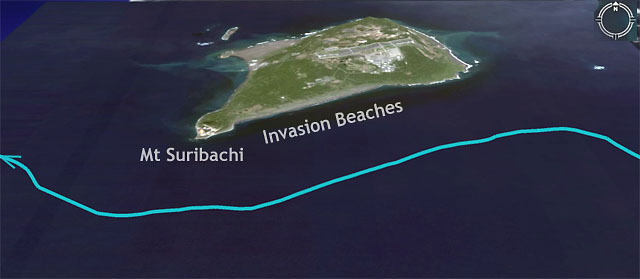
Google Earth Image of Iwo Jima with GPS Track
of the Cruise-By (turquoise) |
After
a 2 night and 1 day sail from
Saipan, the ship arrived at Iwo
Jima.
|
|
|
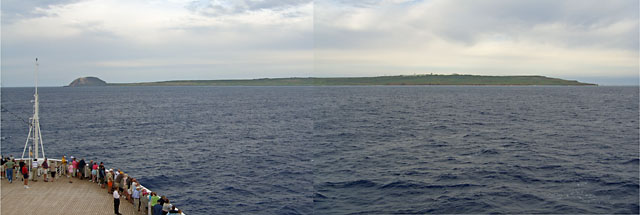
Approaching Iwo Jima |
|
The
island became visible just at
dawn as we approached from the
south. A lecturer
on the PA system said that unlike
previous islands invasions, the
Japanese let thousands of
Marines get ashore uncontested
and then blasted them with
machine guns and pre-registered artillery. The American
pre-invasion bombardment was
unprecedented, but had little
effect on the defenders, who
were well dug in. |
|
 |
|
|
|
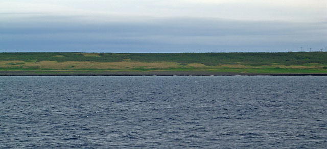
Invasion Beaches |
|
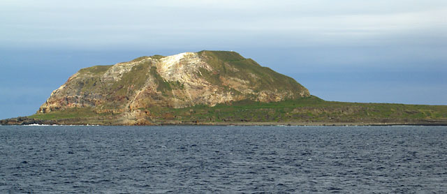
We
slowly cruised by the invasion
beaches and Mt Suribachi. Using
binocs I could clearly see the black
volcanic sand beaches and the steep
berm behind. The WW2 lecturer in the
afternoon was an Australian Major
who is on active duty and has served
with US Marines. His topics were the
battles of Iwo Jima and Okinawa. He
said he didn’t really realize how
difficult Iwo was until he saw the
beaches as we cruised by. Iwo was
the only battle where US casualties
were greater than the Japanese (99%
of the Japanese were killed. The
US totals include wounded). |
|
|
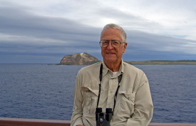
Mt Suribachi |
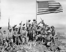
The white speck on the top
right of the mountain is the
monument where the famous
American flag raising took
place. Click
here for text from an oral history. Click
either picture for photos. |
 |
 |
|
|
|
Iwo Jima Memorial
Ceremony |
|
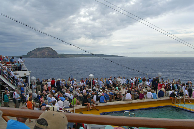
The 2nd Memorial
Ceremony of the cruise
was held off the west
end of Iwo Jima.
Two chaplains
officiated, taps was
played, and flowers were
dropped into the ocean.
The ship again did slow
S-turns and sounded its
horn to honor the
servicemen who gave
their all for their
country.
Click the picture to
hear the horn. |
|
 |
|

|
|
Iwo Jima from the West |
|
After we sailed away it
started to rain. The
temperature at noon was
only 69°F, quite a
change from the previous
two weeks.
It was very moving to
think about all the
brave souls who died in
the battle for this
small island.
|
|
|


