
|
|
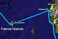
Map
Showing GPS Track of Our Visit
to Torshavn, Faeroe Islands |
|
|
After
a two night and one day passage at
16 kts from Geiranger the ship
arrived at Torshavn, Faeroe Islands. Torshavn
means Thor's Harbor. (Thor was the
Norse god of thunder and war)
Faroe is an alternative spelling for
Faeroe.
The inbound ship track is
Red,
outbound is
Magenta, and the land tour is
Blue.
 |
|
|
|
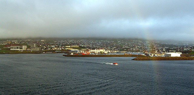
Approach to Torshavn from the
East |
|
|
The ship anchored off
Torshavn and passenger were
tendered ashore. It
was rainy and cloudy.
We took a ship's tour to
Kvivik, a old fishing
village.
The Faeroes are thoroughly
Scandinavian, with close
ties to Denmark and historic
ties to Norway. The islands
appeared prosperous and more
modern than we expected
(really, we didn't know what
to expect, and that's why we
cruise, to learn more about
the world) |
|
|
 |
|
|
|
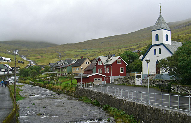
Kvivik |
|
|
A
small fishing village 11 miles NW of
Torshavn.
Note the extensive grass lands.
Sheep graze over most parts of the
Faeroes. They are used
primarily for meat -- wool is
secondary. |
|
|
|
Old Boat Harbor At Kvivik |
|
|
The guide said storm waves
often come over the sea
walls.
Fish and fish products are
the main basis for the
Faeroe economy.
|
|
|
 |
|

|
|
Grass Roofs |
|
|
|
Grass roofs of the parsonage for the
minister of the Lutheran church, who
is female. |
|
|
|
|
|

|
|
Overview from the Tour Bus |
|
|
The
bus returned to Torshavn on a
mountain road. Because of the
rain and clouds, scheduled photo
stops were skipped. This view
shows an agricultural valley and the
tip of a fjord.
Because of the cool temperatures and
short season, potatoes and a few
other root vegetables are the only
crops other than grass.
|
|
|
|
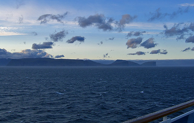
Looking North
At Fugloy Island from the Ship |
|
|
At
1820 the ship departed for
Akureyri, Iceland.
This is a view of Fugloy
Island, the northeast corner
of the Faeroes, where the
ship turned to a NW heading
to Iceland. |
|
|
 |
|
